
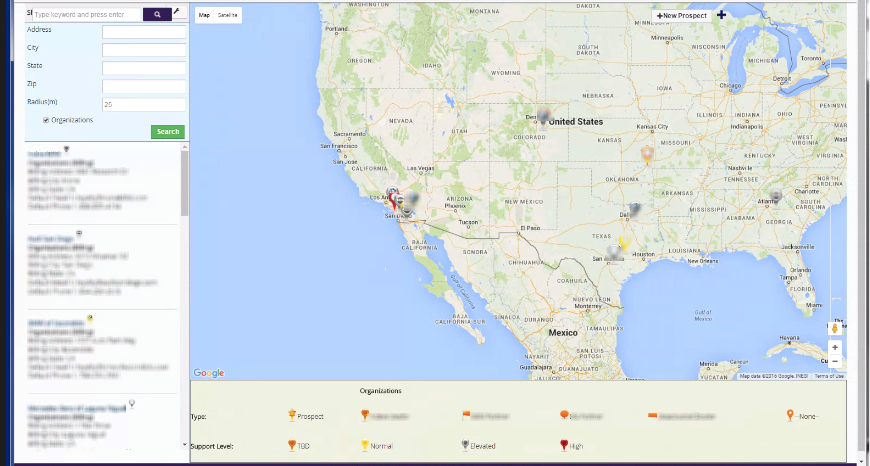
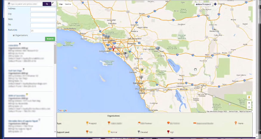
Here at Boru, we’re always looking for new ways to improve our clients’ Vtiger experience. We recently released a new version of the Vtiger Google Maps Integration, which allows clients to view Vtiger data at a glance.
With this enhanced mapping view, users can now select records from a list view and with one click, selected list items will appear on a map.
Before this update, the app used pushpin shape and color to differentiate data on the map. Now, you can also use images embedded in the the push pin, such as a company logo or product to represent data. This new feature adds to the flexibility of the app, allowing you to easily spot the details you need on the map view.
Still have questions about Boru’s Enhanced Mapping View? Contact us at any time.


